- Trips
- Tour Calendar
- About Our Tours
- Plan a Trip
- Book a Trip
- About Us
- Contact Us


Location: Grindelwald, Jungfrau Region
Distance: 10 miles/16 km
Duration: 5½-7 hours
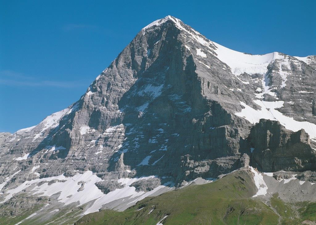
The Eiger Trail is the classic route in the Jungfrau used by climbers since the 1930s to access climbing routes on the North Face of the Eiger. For climbers, the Nordwand (North Face) is as much a shrine as a mountain, and those who walk this trail are worshippers as much as hikers. As you hike this trail you'll come to embrace the spirit of alpine mountaineering that the Eiger embodies. The route reported here is a one-way route that can be hiked in either direction, by ascending from Grindelwald to Eigergletscher Station or vice versa. I recommend the uphill option since it has you facing the Eiger more of the time and gives you a sense of being an early climber on the North Face, readying for your ascent. In addition to starting at the top (Eigergletscher Station) or bottom (Grindelwald), you can also start in the middle, just above timberline, at the Alpiglen train station.

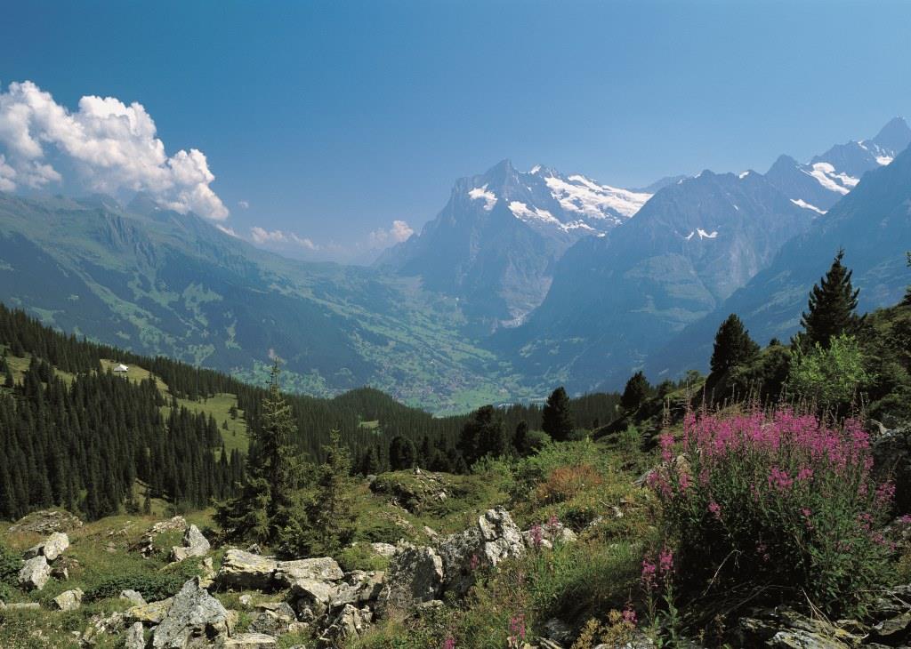
Starting at the gorge of the Unterer Grindelwaldgletscher, you may want to pay your admission and walk up the catwalk built into the wall of the gorge before taking off on the trail up into the woods. The steep ascent through this moist and fragrant woodland is made memorable by the vegetation-conifers, mushrooms, wildflowers-the occasional sighting of a red deer or fox, and the glimpses out to the valley from a few overlook points along the trail.
Within about two hours, you'll emerge above the forest level into high slopes approaching the timberline. Here the trail continues upward and to the west. A trail junction allows you to descend to Alpiglen-a fine lunch stop or overnight option-or to continue ascending to the west in the direction of Eigergletscher Station. After a series of steep switchbacks rising above Alpiglen, the trail straightens out and follows a gently ascending contour below the Nordwand. You'll cross large tongues of snow that remain well into July. Exercise extreme caution when traversing some of these icefields, and be aware of the risks in plunging through the snow into the icy meltwater below the surface. Some of the more treacherous crossings are detonated to speed their melting and remove the hazard. Even in late July, you'll be amazed how much water still drains off the North Face to the slopes and gullies below.
Along the ascending trail, the showstopper is the North Face of the Eiger, but the panorama also sparkles with views of the Grindelwald Valley, Grosse Scheidegg, and the Wetterhorn. Soon, you'll arrive at a rounded landing and promontory with benches and interpretive signs giving the routes and details surrounding some of the historic ascents. With a pair of binoculars and a bit of luck may even see climbers on the face. With the naked eye you'll have no problem spotting the windows of the Nordwand station used by the Jungfraubahnen.
In another 30 minutes you'll arrive at the Eigergletscher Station at an elevation of 7612 ft / 2320 m which offers a restaurant, accommodations, great views of the Eiger Glacier, and regular train connections back to Grindelwald. The classic hike on the Eiger Trail is a popular feature on many of Alpenwild's guided and self-guided tours in the Jungfrau Region, including Exploring the Jungfrau and Best of the Swiss Alps.